Geospatial & GIS
Expert Geospatial & GIS Services
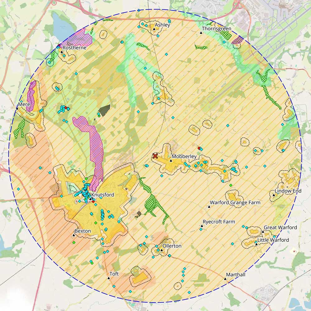
Most planning applications need maps: site location plans, constraint mapping, accessibility analysis, heritage context. The question is whether those maps just tick a validation box or actively support the planning argument.
I provide Geographic Information Systems (GIS) and GIS mapping services specifically for planning and development projects. I have over ten years of experience using GIS across residential, commercial, energy, waste, and infrastructure schemes, with a professional background in transport planning. That combination means that I understand planning workflows from the inside. I know what planning officers look for, how mapping needs to integrate with technical reports, and how to present spatial evidence that actually strengthens an application.
Whether you need a single map for an urgent application or an entire GIS system within your consultancy, my focus is on outputs that support real planning decisions.
Why Geospatial Analysis Matters
Planning is fundamentally about location. Whether a proposal is acceptable often depends on distances, relationships to nearby features, policy constraints, and how a site fits within its wider context. Geospatial solutions help to:
Identify Constraints
GIS analysis highlights environmental designations, heritage assets and planning policy factors at the outset, helping teams understand risks and opportunities.
Understand Context
Spatial mapping shows how development proposals relate to surrounding land uses, infrastructure and nearby communities, supporting more informed planning decisions.
Strengthen Evidence
Professional GIS cartography presents spatial information in a structured way that supports planning statements, technical reports and consultation discussions.
Improve Communication
Mapping helps clients, consultants and planning officers quickly interpret site relationships and project impacts without relying solely on lengthy written explanations.
Where GIS Supports Planning Projects
Mapping input is valuable wherever location, policy or surrounding context could influence the outcome of a proposal. This might include:
Early Site Appraisal
Early GIS analysis identifies planning constraints and surrounding context before committing to a site.
Constraint Mapping
Combining multiple datasets to highlight environmental, heritage and policy designations affecting a site.
Policy Context
Visualising relevant local plan policies and designations to understand which apply to a site.
Planning Submissions
Comprehensive mapping and figures support planning statements and technical reports.
Project Teams
Shared spatial data supports collaboration between planners, architects and engineers.
GIS Workflows
Helping consultancies produce consistent mapping across multiple projects.
GIS Services For Planning Projects
Geospatial Solutions
Consultancy to help organisations build GIS capability. Support with systems, data, workflows, and documentation so teams can manage mapping internally and reduce reliance on external GIS companies across their projects.
Learn More
GIS Mapping
Planning-ready maps and figures using professional GIS cartography to support applications and reports. Ideal for consultants, planners, and developers who need high-quality mapping without managing their own GIS system.
Learn More
QGIS Training
Hands-on QGIS training focused on real planning scenarios. Designed to help planners and technical teams confidently produce maps and spatial analysis, with workflows tailored to your projects and day-to-day work.
Learn More
Practical Geospatial Support
I use Geospatial tools and data to produce mapping that supports real planning decisions. As a GIS consultant, my approach is tailored to each project, whether that’s a one-off plan for an application or ongoing support across multiple schemes.
Tools & Data
All mapping and analysis is carried out using QGIS, an industry-standard GIS platform widely used across planning and consultancy. I use authoritative datasets including Ordnance Survey mapping, local authority data, planning constraints, and environmental designations.
Mapping outputs are produced with accuracy and planning relevance in mind, ensuring outputs meet local authority expectations and integrate with reports and submissions.
Typical Projects
My Geospatial work ranges from individual mapping outputs through to supporting wider planning strategies. Typical examples include:
- Site location and land ownership plans
- Composite constraint mapping
- Heritage and listed building plans
- Zone of Theoretical Visibility (ZTV) mapping
- Accessibility and walking / cycling catchments
- Traffic routing for transport assessments
- GIS support across multiple planning applications
Working With Project Teams
I work closely with planners, architects, and other specialists, either as part of a wider team or as an external consultant. My role is to provide reliable mapping that fits directly into the planning process.
I take a responsive approach, ensuring outputs align with project requirements, tight deadlines, and the needs of planning submissions.
Discuss Your Planning Project
If you need GIS mapping or geospatial support for a planning application or development project, get in touch. Early input helps clarify constraints, improve evidence and support submissions.