
Geospatial Design
Expert Mapping Services and Bespoke GIS Solutions
WHAT I BRING TO THE TABLE
A highly skilled Geospatial Designer with a proven track record of successfully delivering projects, optimising strategies, and developing effective AutoCAD and GIS solutions. I am eager to contribute my expertise in project management, data analysis, GIS, and AutoCAD to shape the built environment of the future.
Services
From initial site assessments to preliminary design for planning applications, I am committed to delivering precision, innovation, and compliance with regulatory standards. My expertise ensures your projects are executed with the highest level of professionalism. Explore the diverse services on offer below, designed to optimise your project’s success and streamline the approval process.
QGIS TRAINING
Learn how to use GIS software to create visually appealing maps and repeatable workflows.
Alternative site assessment evaluates multiple locations to identify the best option for development, considering factors like environmental constraints, historic assets and various regulated areas.

Site Layout Input
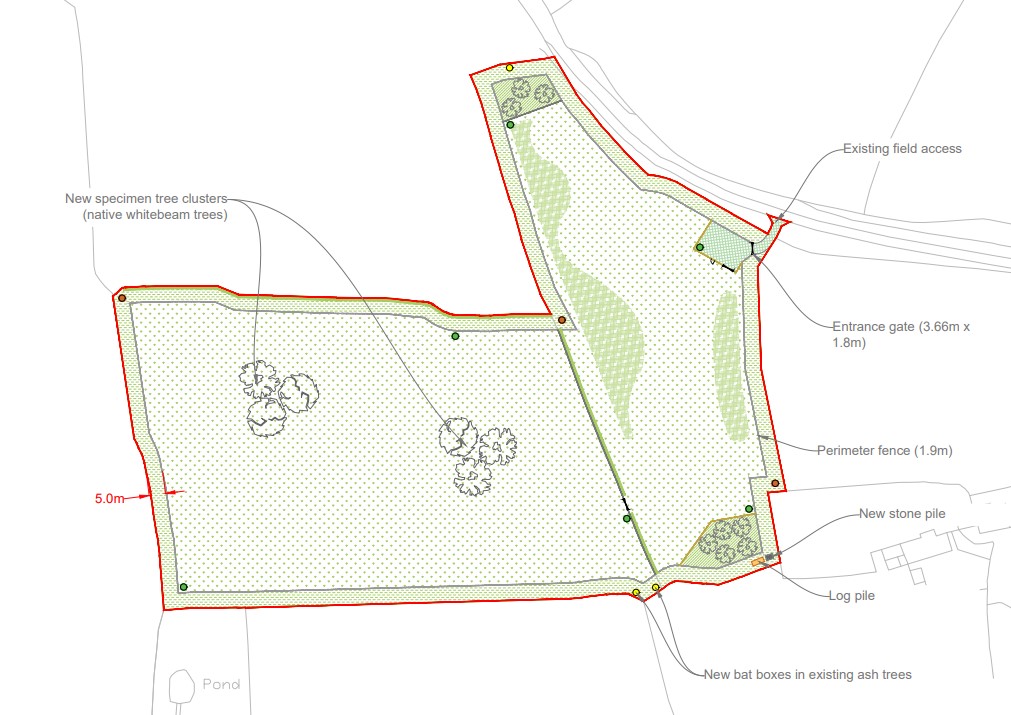
Site layout design provides precise and detailed plans for development planning. Using AutoCAD, I collaborate with architects, engineers, and planners to create accurate, to-scale layouts that align with project objectives and ensure successful outcomes.
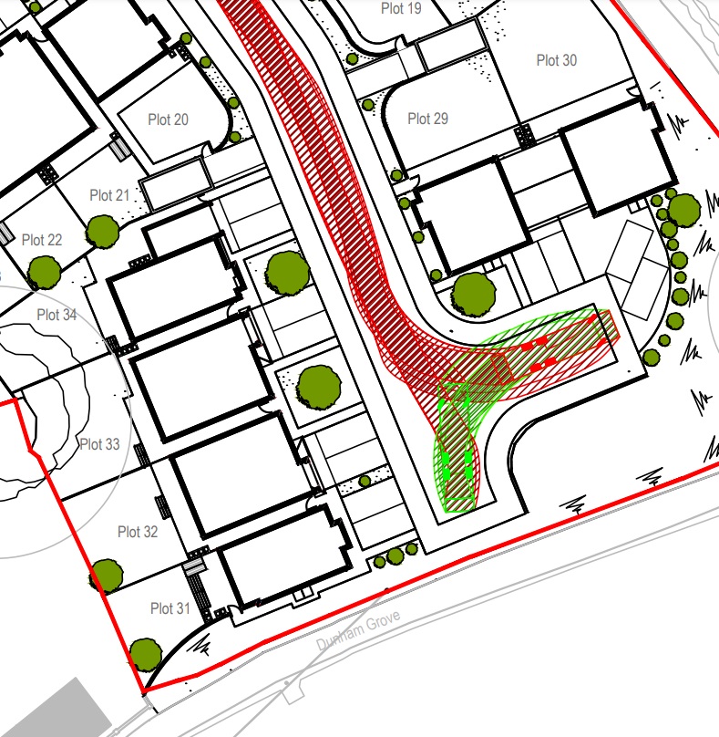
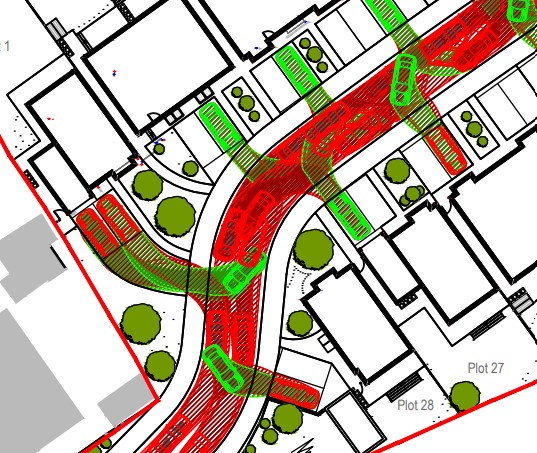
Swept path analysis is essential for planning permission, evaluating vehicle manoeuvres in confined spaces. I use advanced software to ensure efficient, safe, and compliant designs, aiding in the approval process.
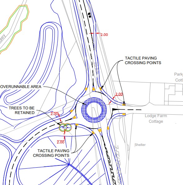
Access junction design, creating efficient and safe access points for development projects. Using AutoCAD and swept path analysis, I ensure optimal traffic flow, safety, and compliance with design standards.
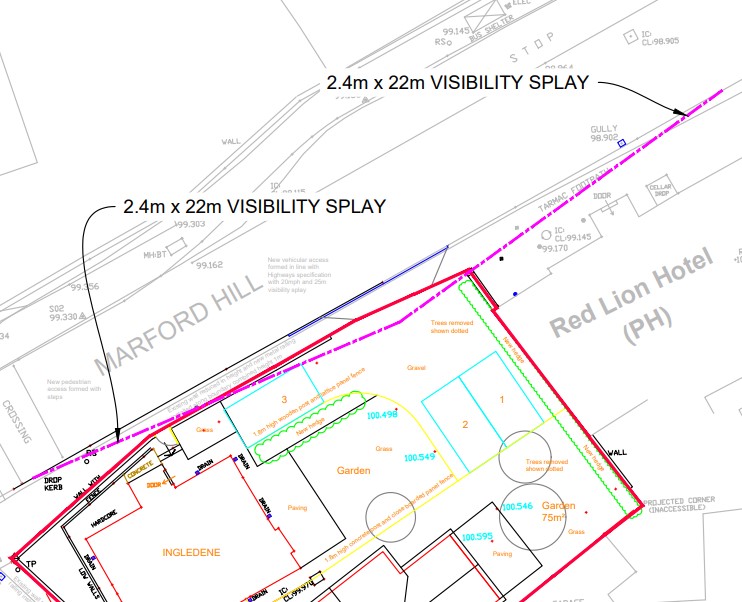
Visibility splays are crucial for obtaining planning permission, ensuring safe sightlines at junctions and access points. Designed to ensure that visibility is achievable for drivers, enhancing road safety and allowing planning approval.
Parking design focuses on efficient space utilization and adherence to parking standards. I create optimised layouts that maximise capacity and ensure compliance with regulations


 Geospatial Design